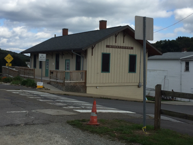
Here are some of my photos of the Panhandle taken this past weekend. The wife and I went on a little ramble to our favorite orchard, Brown's in MacDonald, PA. MacDonald happens to be on the Panhandle. To get to it, you must pass through Cecil, also on the Panhandle. West of MacDonald is Burgettstown, PA.
This is Burgettstown Station.
- Panhandle_001_.JPG (193.2 KiB) Viewed 3240 times
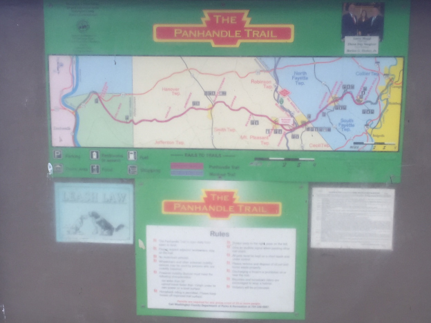
Here's the map of the Panhandle Trail.
- Panhandle_002_.JPG (156.06 KiB) Viewed 3240 times
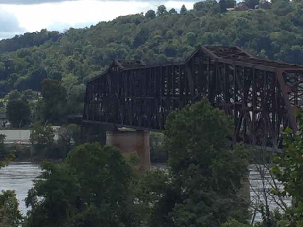
We decided that it just a short jump to Weirton, so we headed there to get some shots of the bridge piers. Here's a shot from the WV side, just south of it on Route 2.
- Panhandle_003_.JPG (180 KiB) Viewed 3240 times
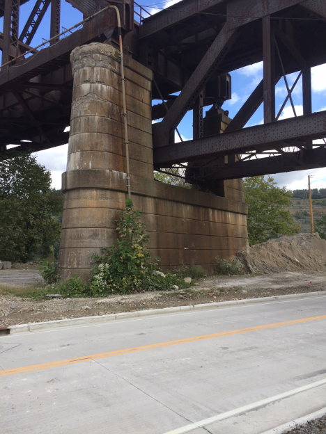
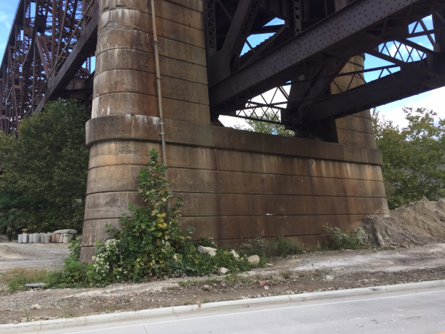
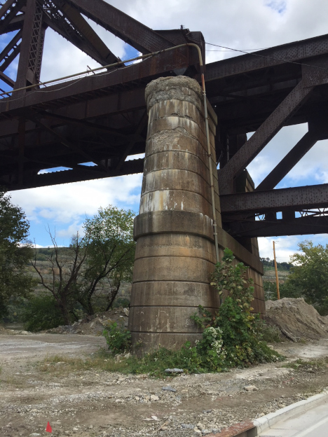
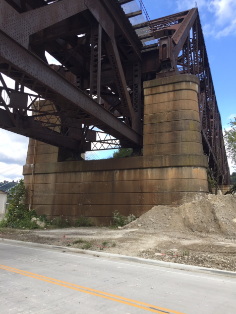
The next 4 photos are of the Steubenville pocket pier. In particular, I needed some guidance on its coloration. Fortunately, being on land (in the sand and gravel yard) it is easily accessible from Ohio Route 7.
- Panhandle_004_.JPG (226.35 KiB) Viewed 3240 times
- Panhandle_005_.JPG (252.73 KiB) Viewed 3240 times
- Panhandle_007_.JPG (261.65 KiB) Viewed 3240 times
- Panhandle_009_.JPG (249.42 KiB) Viewed 3240 times
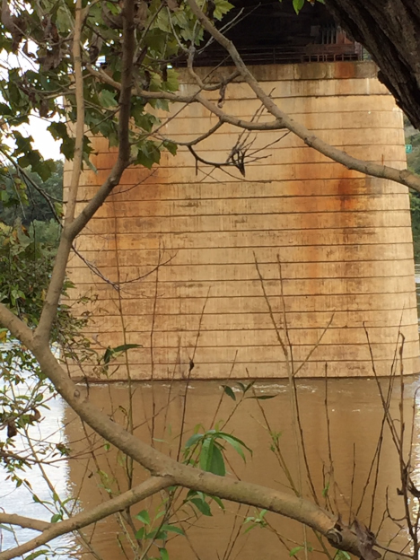
Here's a photo of a mid-stream pier. Being more exposed to the sun and the elements, all the mid-stream piers are lighter in color.
- Panhandle_008_.JPG (224.44 KiB) Viewed 3240 times
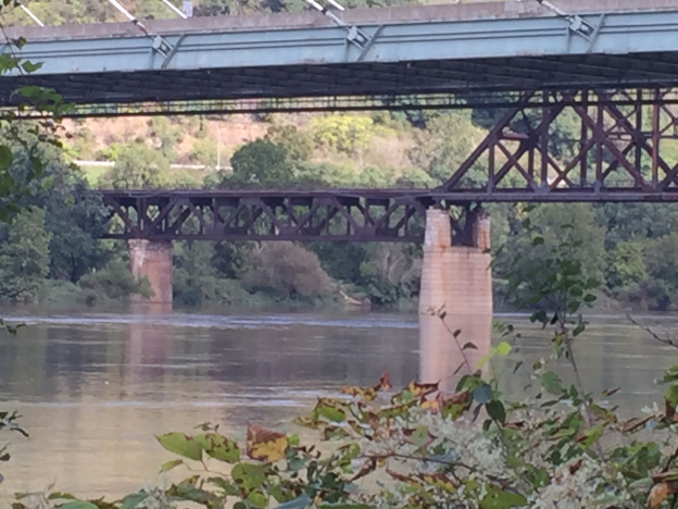
Finally, here's a shot of the WV side pocket-pier and the "shorty" pier. The water level was high. Usually the shorty is not immersed in the river. And the wake left around the piers is visible.
- Panhandle_010_.JPG (224.51 KiB) Viewed 3240 times
George