healey36 wrote:Thanks for that, George...helps understand the evolution of the crossing. The bridge has some serious height off the river...is there stuff moving that requires that much clearance or was this more for high-water/flood stage purposes? Probably both, I guess...
Healey
Both is the correct answer. The 2nd bridge was put in place to deal with the increased height of river traffic (steamboats, etc.).
Today, the main channel of the Ohio is (I think) 22' deep, so large vessels can navigate it. Typically, you see the push boats and barge traffic that I have photographed in the past. But in the past there were significant problems with flooding and water level changes.
Here's a photo of Steubenville from the infamous 1936 flood. This is taken from the PRR bridge looking north on the Ohio side.
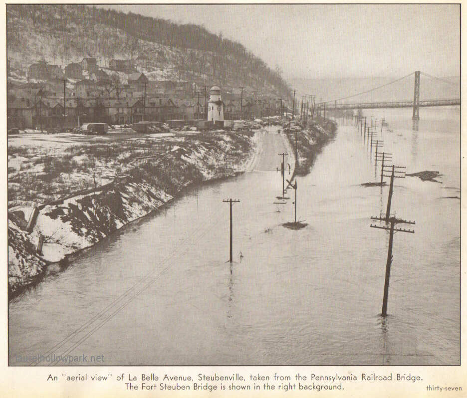
- wsf37.JPG (93.13 KiB) Viewed 2800 times
Weirton or its lower altitude neighbor, Holiday's Cove, fared no better. The "cove" was so named for an inlet of the Ohio River that extended back towards the town. In fact, Holiday's Cove / Weirton sits on an ancient river bed of the Ohio. At some point in the past, the land rose and the river took the course we see today. Until effective flood control came into use, the river would occasionally reclaim parts of the old river bed.
http://www.laurelhollowpark.net/weirton ... d1936.htmlGeorge